Port Lands Flood Protection and Enabling Infrastructure
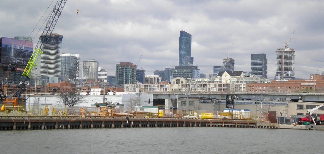
Toronto’s Port Lands stretch across 800 acres of the city’s eastern shores of Lake Ontario. Created in the early 20th century, the Port Lands were originally designed as an industrial area for a growing city. Today, while the area is still used for industrial and port functions, the Port Lands have many vacant and underutilized areas – areas that represent one of the most significant urban renewal opportunities in Toronto.
But before the City could redevelop the Port Lands, they had to ensure the area was protected from the flooding Don River. This would require a new outlet for the Don as well as a redesign of the Keating Channel, a 3,300-foot-long waterway that connects the Don River to Toronto’s harbour.
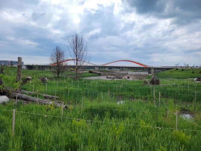
Designed in collaboration with Michael Van Valkenburgh Associates (MVVA), the Port Lands Flood Protection and Enabling Infrastructure project (PLFPEI) will alleviate flood risk for approximately 300 hectares of land and serve as a catalyst for the redevelopment of the Port Lands.
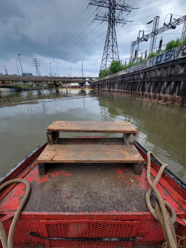
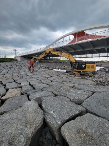
GEI provided waterfront/marine engineering and geotechnical engineering services for the PLFPEI project. Specific marine elements include: weirs to control water flow through the Keating Channel at the mouth of the Don River; stone revetments to shore up deteriorated dock walls and add structure to the Keating Channel; new dock walls throughout the project; and wetland control structures. GEI also designed more than 800 meters of new dockwalls and dockwall reinforcements and is providing geotechnical engineering and permitting support for all marine structures.
In addition to resilience against flooding, GEI’s design will:
- Allow a re-naturalized Don River to flow into Lake Ontario.
- Create 30 hectares of public green space, wetlands, and wildlife habitat
- Enhance Toronto’s ecological diversity and climate resilience
Ultimately, the PLFPEI project will create a new neighborhood with a revitalized waterfront, 50 hectares of riverside parks and 240 hectares of developable land.
Key Facts