Michigan’s Critical Dune Areas
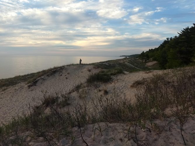
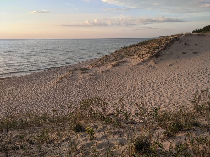
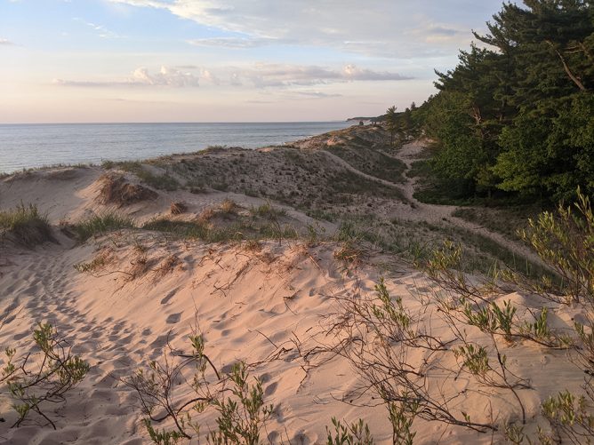
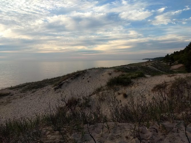
You’ll find Michigan’s famous freshwater dunes – the tallest in the world – on the shores of Lakes Superior, Huron, and Michigan.
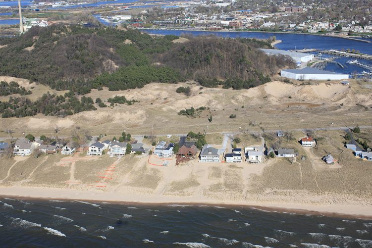
These are globally rare ecosystems. Not only are the dunes home to endemic species, such as the federally endangered Pitcher’s thistle, they protect coastal communities from the threat of rising and falling lake levels. The dunes are also a huge economic driver for tourism and help bolster local economies.
In 1989, the State mapped approximately 74,000 acres of dunes along 265 miles of coastline. These Critical Dune Areas (CDAS) were determined to have exceptional diversity, quality, and function; as a result, they needed protection from developmental pressure and mining. But in 2024, the State’s Critical Dune maps turned 35 years old. They needed an update to ensure the ongoing protection and preservation of this unique ecosystem.
Michigan’s Department of Environment, Great Lakes, and Energy (EGLE) turned to GEI to re-delineate the state’s CDAs.
While the original mapping was largely conducted by geographers using old-fashioned tracing paper over topographical maps, GEI’s team of experts have the latest technology available.
Working with the top dune experts from the Michigan Technological University (MTU), Michigan State University, and the Michigan Natural Features Inventory (MNFI), GEI will deploy experts in ecology, coastal morphology, geology, and more to remap the CDA’s using modern technology, including satellites, drones, remote sensing, aerial photography, and geospatial analysis.
Once the project is complete, the State of Michigan will be equipped with up-to-date, science-based maps of its CDAs, which will help Michigan continue to protect these unique ecosystems for generations to come.