MIDH2O: A Custom Decision-Support Framework for Hydrologic Forecasting
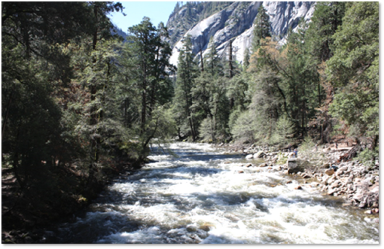
The Merced Irrigation District (MID) manages water supply for agricultural and municipal users in California’s Central Valley, with Lake McClure as its primary reservoir. Reliable inflow forecasting is central to balancing water supply, flood risk management, and downstream needs in a highly variable hydrologic context shaped by Sierra Nevada snowpack, precipitation, and evolving watershed conditions.
To strengthen the district’s forecasting capabilities, our team was engaged in the development of MIDH2O: a basin-specific modeling and decision-support framework that brings together hydrologic data, forecasting tools, and operational insights within a coordinated platform.
Ownership, accuracy, and independence
MIDH2O was developed using HEC‑RTS (Real‑Time Simulation), the public software system we helped USACE develop for real‑time modeling and forecasting of river and reservoir conditions for flood management and water operations.
Drawing on over 50 years of experience in numerical modeling and software development for water resource management, our team further supported the design and aided in the development of a system that aligns with MID’s specific needs and existing infrastructure.
Significantly, MIDH2O provides an internally controlled forecasting capability, providing MID with a customized and targeted forecast system based on watershed-specific conditions. This independence supports more effective coordination with partner agencies and ensures that results reflect MID’s priorities.
The platform is tailored to MID’s basin and key forecast locations, producing outputs tailored to their operational needs. Combined with meteorological inputs from a specialized forecasting provider, MIDH2O delivers forecasts that are more relevant and actionable than generalized public sources.
An adaptable system designed for uncertainty
Since taking on day-to-day operation of MIDH2O in 2020, our team has implemented several enhancements to improve performance, strengthen data integration, and refine how results are delivered and applied.
Key components of MIDH20 include:
- Integrated modeling environment: Custom implementation of HEC-RTS connected directly to MID’s hydrometeorological database
- Hydrologic state tracking: Snowpack, snow water equivalent (SWE), and soil moisture conditions tracked in real time with a calibrated HEC-HMS configuration
- Data assimilation: Near real-time incorporation of Airborne Snow Observatory (ASO) SWE data to keep model conditions aligned with observed basin conditions
- Model chaining: The component models incorporated in MIDH2O were developed in concert and linked in real time to support both short- and long-term forecasting
- Efficient automation: Reduced need for manual model adjustments as conditions change
- Forecast evaluation interface: A unified workspace for reviewing and comparing inflow scenarios before runoff reaches Lake McClure
MIDH2O was implemented with full lifecycle support – from requirements definition through deployment, training, and ongoing maintenance – ensuring alignment with MID’s workflows and long-term usability.
From data to operational insight
MIDH2O enables MID to consistently translate current watershed conditions into actionable forecasts. By aligning data, models, and outputs within a single workflow, the platform supports:
- Earlier and more confident evaluation of runoff scenarios
- Forecasts that reflect basin-specific conditions and priorities
- Clearer communication of results for operational decision-making
- Ongoing technical support and on-call adjustments as conditions evolve
Through this integrated and adaptable framework, MIDH2O supports more informed, timely, and independent water management decisions under increasingly variable hydrologic conditions.