Thought Leadership
How using Remotely Piloted Aerial Systems (RPAS) can save time and money on your geomorphic assessments
June 26, 2023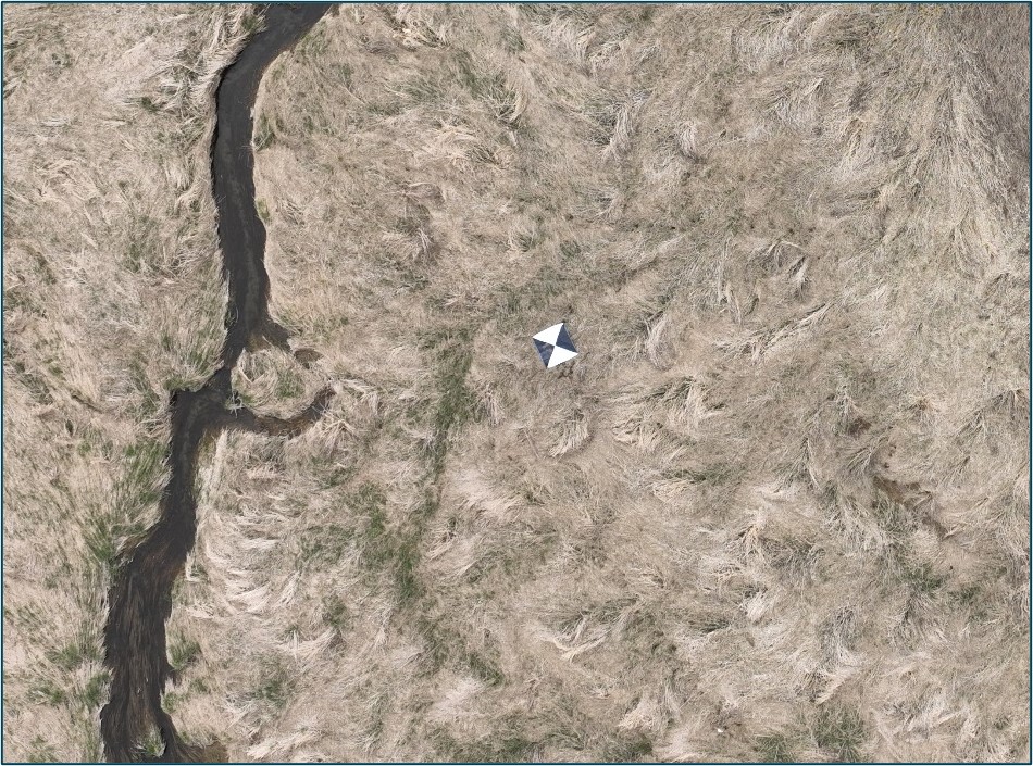
By Ahmed Siddiqui and Ian Smith – Senior Fluvial Geomorphologists
Traditionally geomorphic assessments involve multiple “low-tech” tools and require boots-on-the-ground expertise. But today, we have a new tool in our toolbox. Remotely Piloted Aerial Systems (RPAS, or drones) can help you complete necessary geomorphic assessments in an efficient cost-effective manner.
Detailed fluvial geomorphic assessments have a variety of applications. For instance, these can be used to inform restoration designs for watercourses, floodplains, and wetlands, by characterizing existing conditions. Other applications include estimating the capacity of a channel to convey flows, which when combined with detailed information about the nature and composition of the bed and bank materials in the channel, can also be used to estimate the point at which erosion can be initiated (termed the ‘erosion threshold’). These erosion thresholds can then be used to support stormwater management plans, where outflow rates for stormwater management ponds are determined. Observational data for ecological value, such as habitat structure, large woody cover, etc., can also be geolocated during field survey efforts.
Detailed geomorphic assessments of this nature require topographic surveys of relatively high accuracy to complete these analyses. Such surveys may be done at one time, where the existing condition of the channel is recorded as a snapshot in time, or could be repeated, where channel adjustments can be measured over time.
Traditionally, survey methods have included the use of low-tech equipment which required manual data entry and a knowledge of trigonometry, to calculate distances and differences in elevation. Recently, more sophisticated equipment have been available, which rely on lasers and computer processing, to speed up this data collection. Newer technology also use global navigation satellite systems (GNSS), which can supplement and enhance positional data. However, these newer tools can still be time-consuming to use, and some may require additional staff resources to support the collection of data. The surveyor would need to navigate the site, pausing at each interval to allow the system to record the data points. A total station, which is an optical instrument, would need a clear line of sight between the instrument and the target, which is typically either a reflecting prism or a reflectorless control point. For these reasons, a survey of a particularly large site, or one with difficult terrain, may take days to complete.
Until recently, aerial surveys have been expensive to conduct. However, with the advent of Remotely Piloted Aerial Systems (RPAS, or drones), aerial surveys have become significantly less expensive. An additional advantage is the ability to cover large areas of interest very quickly, and often without the need for additional staff resources. Recent developments in drone technology have also improved the ability to take photographs of underwater topography, without significantly degrading quality and spatial resolution.
Two types of drones are available on the market: the ‘off the shelf’ consumer devices, or the more specialized enterprise drones. The ‘off the shelf’ devices are generally cheaper, and can be found at hobby stores, electronic stores, etc. These are simple to fly and can be flown autonomously, using built-in software. Subsequent data management and mapping can be done with associated drone software, as well as powerful quality control and analysis software which are available through third-party applications. Enterprise drones are typically more expensive and are sold through specialized retailers. These can also be simple to fly due to autonomous controls, but the biggest advantage of these devices is there is a greater spatial control through on-board positioning systems, such as RTK tied to GNSS dGPS correction systems. Data management and mapping can be done through similar methods applying associated drone software or third-party applications.
Consumer drones require some form of ground control. These are typically in the form of highly visible points spaced out within the survey site, which are surveyed using traditional methods to establish control. The drone imagery can then be geo-referenced, based on these ground control points (GCPs). The new generation of enterprise drones have enhanced capabilities for accuracy, through the on-board positioning systems. This negates the need for ground control points, as the on-board positioning systems provide an accurate location for the drone as it flies overhead on the site. Corrections through transmissions between community networks, or through the user’s base station on site, can improve accuracy to within +/-1 cm. This is an acceptable error margin for fluvial geomorphic purposes, as the spatial variation of geomorphic forms in nature are not typically smaller than 1 cm.
Some limitations of drone applications do exist, however. For heavily vegetated landscapes, consideration for timing must be taken into account. Optimal timing would be when vegetation is devoid of leaves, the ground is clear of snow and ice, good sun angles are expected to minimize shadows, etc. As the application for geomorphic surveys require visibility under water, periods where flows are turbid must be excluded. The location of the project site must also be considered as flights may not be permitted due to restricted airspace, privacy concerns, or due to obscured targets. Legal issues may also arise, so staff must be properly certified with federal transport regulations.
Ultimately, drones represent a valuable tool, enabling us to complete geomorphic assessments in an efficient and cost-effective manner. These are best used in conjunction with ground observations, and not as a replacement. However, cost savings can be realized due to separation of duties and reassigning staff resources.
We’ll be presenting more on this topic at the Conference on Natural Channel Systems. Learn more about drone applications for watercourses, floodplains, and wetlands by contacting Ahmed Siddiqui and Ian Smith.