

Thought Leadership
Your Subwatershed Study is Complete, Now What? Five Ways Subwatershed Studies Continue Shaping Healthy Communities
September 10, 2026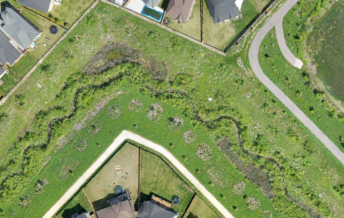
By Holly Stemberger, Environmental Planner and Natalie Dunn, Ecologist/Restoration Ecologist
In our previous blog post, How Do Subwatershed Studies Benefit Your Community and Protect Our Great Lakes, we explored the purpose and value of subwatershed studies. Communities may be wondering: what happens once the study is complete?
Subwatershed studies can continue to be referenced to help communities plan and make decisions for years to come. In this sequel to our previous blog, we are sharing five ways these studies help shape sustainable community development long after the final report is finished:
Guides Future Land Use Planning
Subwatershed studies provide municipalities with science-based recommendations to help inform secondary plans and official plan updates. These planning tools provide a land use planning framework for new community development, often including a variety of prescribed land uses for the area, including environmental protection, residential, commercial, employment, open space/parkland, and institutional.
The subwatershed study directly informs environmental protection land uses by defining existing environmental conditions and, as a result, determines a natural heritage and water resource system for long-term protection, in alignment with existing municipal policies. This information can be incorporated into Secondary Plans and Official Plan updates through environmental land use designations, such as Environmental Protection Areas or similar classifications used by your municipality.
Informs Environmental Policy
Subwatershed studies can inform environmental policies that will protect natural heritage features and water resources, all while providing clarity for future development. Such environmental policies may:
- Identify where additional environmental studies are required for proposed developments adjacent to Environmental Protection Areas.
- Establish minimum buffer widths and setbacks between proposed development and natural heritage features/hydrologic features.
- Define requirements for the timing of feature removal, ecological restoration, and compensation measures where impacts cannot be avoided.
Supports Sustainable Infrastructure Design
As communities grow, rural lands are often replaced by roads, buildings, and other infrastructure, altering stormwater flows, drainage patterns, and ecological functions. Subwatershed studies can be used to support the infrastructure designed to balance community needs with environmental protection to enable more sustainable and resilient communities.
Here are some examples:
- Maintaining habitat connectivity: Subwatershed studies can identify important ecological linkages and wildlife movement corridors, informing the design of naturalized stormwater management features and green infrastructure to support wildlife movement while managing runoff.
- Protecting aquatic ecosystems: Subwatershed studies can identify sensitive aquatic habitats and protect species, informing stormwater infrastructure design, outlet locations, and mitigation measures that minimize erosion, maintain water quality and temperature, and sustain healthy stream ecosystems.
Establish performance targets for watershed health
A subwatershed study establishes baseline ecological and hydrological conditions that can be used to develop indicators and performance targets for watershed health, including hydrologic function, stream stability, water quality, habitat connectivity, and biodiversity. Monitoring and adaptive management programs can then be incorporated into implementation plans to track these indicators over time and inform any corrective actions needed to achieve restoration and protection objectives. This helps ensure that watershed functions are maintained or improved as development proceeds.
Here are some examples:
- Assessing stream health: Regular monitoring of stream morphology, water temperature, and aquatic habitat conditions can help determine whether mitigation measures are effectively protecting watercourse functions and supporting healthy fish and wildlife populations.
- Assessing ecological response and resilience: Long-term monitoring can track ecological indicators such as bird community composition, native plant diversity, canopy cover, and invasive species abundance and distribution. This information can help identify ecological responses to adjacent land use changes and inform adaptive management measures to maintain or improve watershed health over time.
Advances Natural Asset Management
Subwatershed studies provide valuable information that can advance municipal Natural Asset Management programs by generating detailed inventory and condition data for natural assets such as wetlands, forests, floodplains, and riparian corridors. This information can be used to assess risks, evaluate the services these assets provide, and support the development of level of service targets and lifecycle management strategies.
By integrating natural assets into asset management planning, municipalities can make more informed decisions about restoration, maintenance, and infrastructure investments. This helps communities sustain the benefits provided by natural systems, improve climate resilience, support sustainable growth, and maintain healthy watersheds over the long term.
While these five examples are far from exhaustive, they highlight the lasting value of subwatershed studies. Far more than a technical report, a subwatershed study helps guide land use planning, inform environmental policies, support sustainable infrastructure design, establish performance targets for a health watershed, and advance natural asset management throughout the life of a community.
Long after the study is complete, its influence can be seen on the landscape itself, supporting healthier watersheds, stronger ecosystems, and more resilient communities for generations to come. Is your community making long-term planning decisions? Contact Holly Stemberger or Natalie Dunn to learn how subwatershed studies can contribute to your efforts.
We’ll be talking more about subwatershed studies and planning at the Ontario Professional Planning Institute Conference (Sept. 16 – 18) in The Blue Mountains, ON. Join us for our session titled “Subwatershed Planning: A Collaborative Tool for Tackling Housing, Biodiversity, and Climate Change” on September 18 at 10:15 am!
Learn more here: https://site.pheedloop.com/event/2026Conference/sessions/SESQ2VUZG118MPF9V